Show Off Your Land Listings with Aerial Photography
When it comes to marketing land, traditional ground-level photos often fall short of capturing the full scope and potential of a property. Aerial photography offers a unique and powerful perspective, allowing you to showcase land listings in a way that highlights their true value. Here’s how aerial photography can transform your land listings and make them stand out.
Benefits of Aerial Photography for Land Listings
Aerial photography provides a bird’s-eye view that can reveal the full extent of a property, making it especially beneficial for land listings. Here are some key advantages:
Showcase Size and Scale: Aerial images can capture the entire expanse of the land, giving potential buyers a clear understanding of its size and layout. This is particularly important for large parcels of land where the scale may be difficult to convey through ground-level photos.
Highlight Topography: Aerial shots can effectively show the natural features of the land, such as hills, valleys, water bodies, and tree cover. This helps buyers visualize the terrain and understand how it might be used for agriculture, development, or recreation.
Define Boundaries: Aerial photography can clearly delineate property boundaries, helping buyers see exactly what they are purchasing. This is especially useful for properties with irregular shapes or large tracts of land where boundary lines may not be immediately obvious.
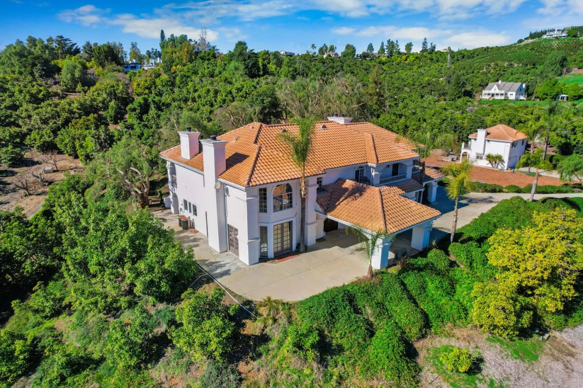
Capture Surrounding Area: Aerial views can also show the property in the context of its surroundings, such as proximity to roads, neighboring properties, and local amenities. This adds valuable context for buyers considering location and accessibility.

Examples of Land Photos
Consider the following examples of how aerial photography can enhance land listings:
Rural Properties: For large, rural tracts of land, aerial photos can showcase the entire property in one image, highlighting features like open fields, wooded areas, and water sources. This helps buyers appreciate the full scope of the land’s potential uses.
Development Sites: Aerial photography is ideal for showing development land, providing a clear view of the plot’s boundaries, nearby infrastructure, and access points. This is crucial for developers who need to understand the site’s layout and surroundings.
Waterfront Land: For properties with water access, aerial shots can capture the shoreline, docks, and adjacent water bodies, giving buyers a better understanding of the property’s waterfront appeal.
Tips for Capturing Topography and Boundaries
To maximize the impact of aerial photography for your land listings, consider these tips:
Use the Right Equipment: High-resolution drones equipped with GPS can capture detailed and accurate images of the land, ensuring that topography and boundaries are clearly visible.
Choose Optimal Lighting: The best times for aerial photography are early morning or late afternoon, when the lighting is soft, and shadows are long. This enhances the visibility of terrain features and adds depth to the images.
Capture Multiple Angles: Take photos from different heights and angles to provide a comprehensive view of the property. This can include overhead shots, oblique angles, and panoramic views, giving buyers a full understanding of the land.
Highlight Key Features: Focus on capturing the most important aspects of the property, such as natural features, access roads, and any existing structures. This helps to emphasize the land’s unique characteristics and potential uses.

Aerial photography is an invaluable tool for showcasing land listings in a way that ground-level photos simply can’t match. If you’re ready to take your land marketing to new heights, we’re here to help.
Contact us today to discuss how our aerial photography services can enhance your land listings, making them more attractive to potential buyers and helping you close deals faster. Let’s work together to show off your land properties from the best possible perspective!